

African map
 king7600
1/3/2026
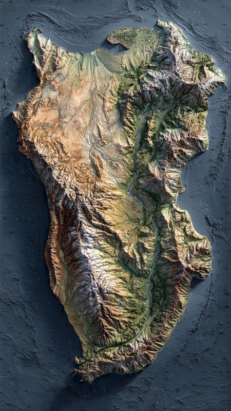
Ancient maps The earliest known map of Africa dates back to 150 BCE, created by Ptolemy. 15th-16th centuries European explorers like Vasco da Gama and Henry the Navigator mapped Africa's coastlines. 1884-1885 The Scramble for Africa led to European powers dividing the continent, with borders often ignoring ethnic and cultural boundaries. 1960s Many African countries gained independence, leading to changes in national borders and maps. Modern era Africa's map continues to evolve, with countries like South Sudan gaining independence in 2011. Some notable African maps include: Ptolemy's Geographia (150 CE): Showcased Africa's east-west orientation. Abraham Ortelius' Theatrum Orbis Terrarum 1570 Featured Africa as a distinct continent. Modern maps Reflect Africa's diverse geography, cultures, and nations


Ancient maps The earliest known map of Africa dates back to 150 BCE, created by Ptolemy. 15th-16th centuries European explorers like Vasco da Gama and Henry the Navigator mapped Africa's coastlines. 1884-1885 The Scramble for Africa led to European powers dividing the continent, with borders often ignoring ethnic and cultural boundaries. 1960s Many African countries gained independence, leading to changes in national borders and maps. Modern era Africa's map continues to evolve, with countries like South Sudan gaining independence in 2011. Some notable African maps include: Ptolemy's Geographia (150 CE): Showcased Africa's east-west orientation. Abraham Ortelius' Theatrum Orbis Terrarum 1570 Featured Africa as a distinct continent. Modern maps Reflect Africa's diverse geography, cultures, and nations


-
Terms and Conditions-
Privacy Policy-
Payments Policy-
Disclaimer-
Refunds & Return Policy-
Contact UsKunda Box Corp, All rights Reserved


Comments